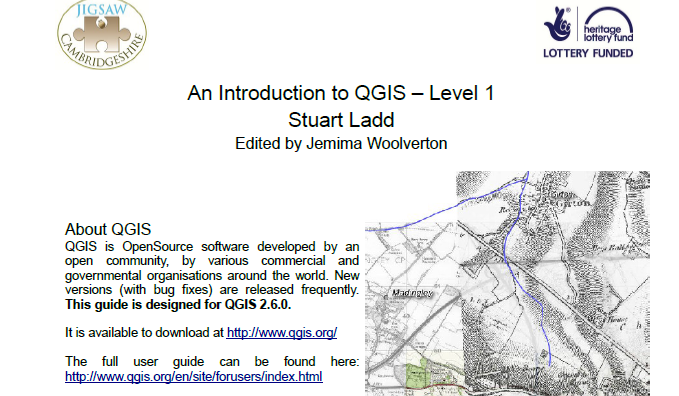

Following the successful Jigsaw training courses on QGIS Mapping Levels 1 and 2 on Saturday 14th February, the Level 1 guide is now available to download from the Resources/Downloads/Recording and Reporting section of the website.
The guide was designed as a handout for the Level 1 course, but can also be used independently. The training is exercise-based, and will lead you through several exercises, each of which teach you new mapping skills. We hope you will be able to transfer these skills into creating your own maps and plans, and that they will form a useful and professional-style element to your fieldwork reports.
The Level 2 guide is currently being edited but will be available to download in the near future.